April 28, 2026
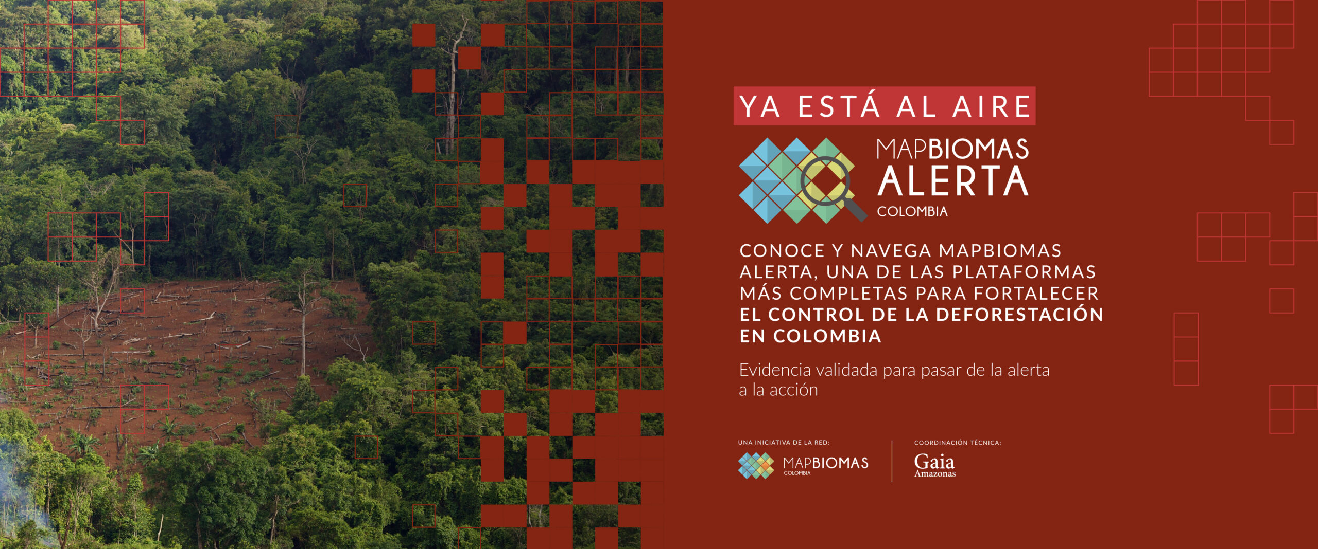


MapBiomas Alerta is a system for validating and refining deforestation alerts using high-resolution time-series satellite images.

On a single platform, we compile alerts from various detection systems across all regions of Colombia, cross-reference them with relevant territorial data, and provide ready-made, detailed reports for each natural vegetation loss event — openly and free of charge.

The MapBiomas Alert initiative publishes any loss of natural vegetation, without making any judgment about the legality, regularity, or responsibility for vegetation removal.
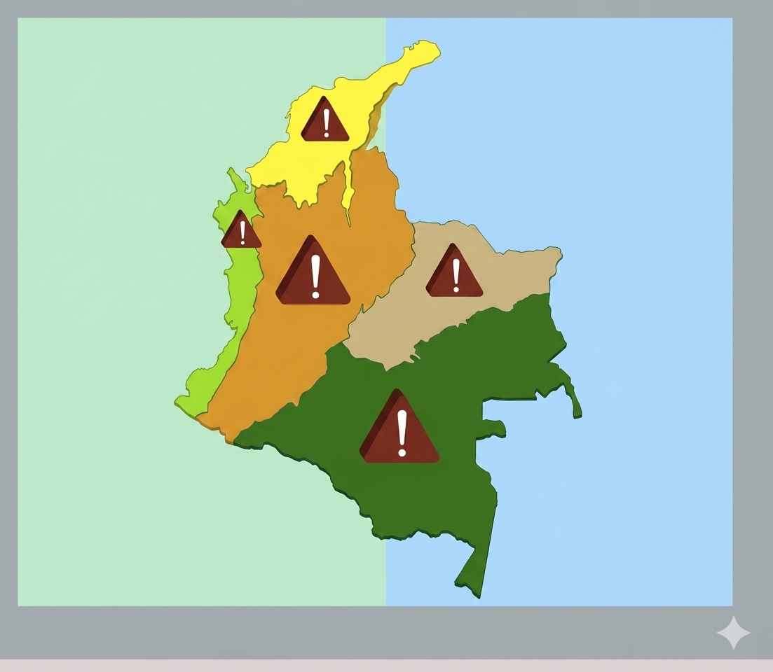
Here you'll find new, validated natural vegetation loss alerts for all regions of Colombia every week, with various temporal and spatial search filter options.
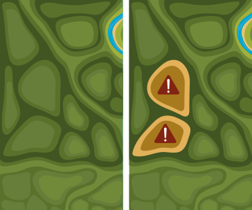
By selecting an alert, you can view high-resolution before-and-after images of the loss of natural vegetation.
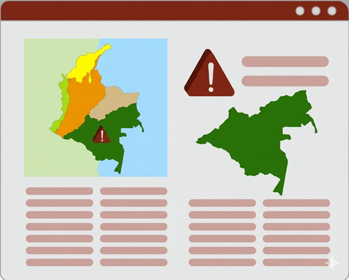
Access full reports for the different territorial entities intersecting with the natural vegetation loss alerts, and search by Rural Cadastre code.